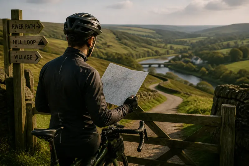
The Shortest Line on a Map Is Not Always the Clearest Route
A clear cycling route is easier to follow than a shorter maze. Learn how landmarks, junctions and memorable turns make map choices more legible.
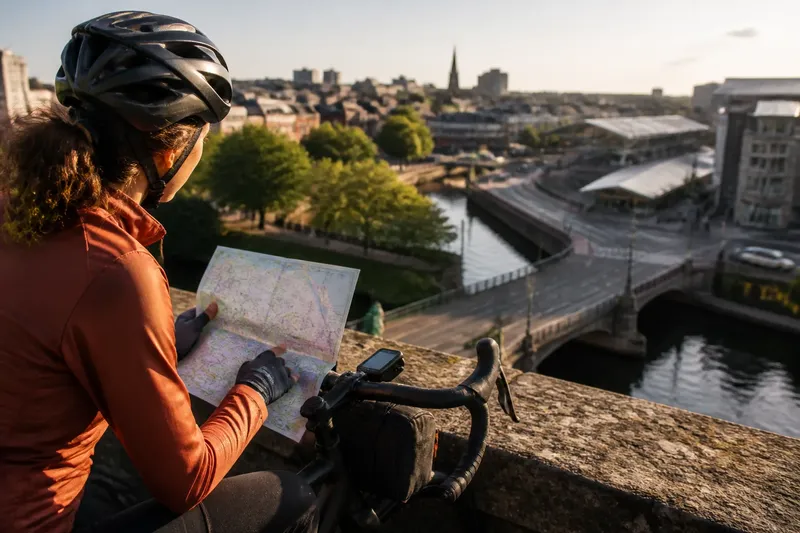
Which cycling route will be easiest to follow once you are moving: the one with the shortest line on the map, or the one whose turns make sense on the ground? A clear cycling route may be a little longer if it follows recognisable streets, reaches obvious landmarks and avoids junctions that all look alike.
Distance still matters, but it does not tell you how much attention a route will demand. These considerations help you choose a line you can read while riding, rather than one that looks tidy only when viewed from above.
1. Count decisions, not just distance
A route with many small turns can be harder to follow than a longer route with a simple shape. Every turn asks you to identify the right street, decide when to move across, and check that the map still matches the road. On a familiar path these tasks may fade into the background; in an unfamiliar area, they compete with watching traffic and people.
When comparing options, scan for clusters of junctions. A few consecutive bends through a fine-grained street grid can create more opportunities to lose your place than a longer stretch along a direct avenue. The issue is not that turns are inherently bad. It is that closely spaced decisions can leave little time to confirm each one.
Use the route preview to note where one turn follows another, especially if the streets have similar names or shapes. A route with fewer decision points may be easier to ride even when its total line is longer. Think of it like following a recipe: fewer unclear instructions can matter more than a shorter list of ingredients.
2. Prefer distinct landmarks
A landmark gives a turn a reason you can recognise. A bridge, canal, railway station, large park entrance or distinctive public building is often easier to identify than an ordinary side street. If the route passes a clear feature shortly before or after a turn, you have a useful reference for checking that you are on course.
Choose landmarks that are visible from the route, not merely nearby on the map. A station might occupy a large area yet have several entrances and surrounding roads; a canal crossing may be a more definite cue. Street names can help too, but they are less useful when signs are obscured, absent or difficult to read from a moving bicycle.
It can help to describe a route as a sequence of recognisable places: cross the river, pass the park gate, then turn at the library. That is easier to hold in mind than a string of lefts and rights detached from their surroundings. Keep the description modest; a route does not become clearer by collecting every notable object in the district.
3. Choose turns with clear geometry
Some junctions make a route’s direction obvious. A road that meets another at a clean right angle is generally easier to interpret than a skewed junction where several streets fan out. Roundabouts, staggered crossings and slip roads can also make a simple instruction such as “take the next left” ambiguous.
Look at the junction on a detailed map or street-level view, if available. Check whether the road you want continues visibly across the junction, whether a cycle path separates from the carriageway, or whether the route turns onto a service road that resembles an entrance. The more the map symbol hides, the more useful it is to inspect the actual layout before setting off.
Do not assume that the most direct-looking turn is the easiest one to execute. A slightly earlier crossing may offer a clearer approach and a more recognisable exit. Route legibility is about being able to tell where you are going, not merely where the line points.
4. Notice repeated street patterns
Grids are efficient, but a run of similar blocks can make it surprisingly easy to take the wrong parallel street. Curving residential roads bring a different problem: a bend on the map can conceal a fork or a small connecting lane. In either case, the route may remain geographically simple while becoming visually repetitive.
Look for features that interrupt the pattern: a railway cutting, a school ground, a broad green space or a main road that forms a clear edge. These can anchor your position while you move through streets that otherwise look alike. A route that follows the edge of a neighbourhood may be easier to remember than one weaving through its centre.
Consider whether the map’s appearance could mislead you. Parallel roads may be separated by a wall, a one-way system or a building that prevents a direct crossing. If a route asks you to switch between them, check where the actual connection lies instead of assuming that two nearby lines meet conveniently.
5. Treat crossings as decisions
A road crossing can interrupt the mental flow of a route. A map may show two streets joining, while the ground presents a divided road, a controlled crossing or a junction with several approach lanes. These are not simply gaps between turns; they are places where you may need to pause, reorient yourself and choose an appropriate crossing point.
When two routes are otherwise similar, notice how often they cross major roads and whether the crossings are easy to identify on the map. A crossing beside a bridge or a signal-controlled junction can be more legible than an informal connection that appears as a small gap between roads. This is a reading question, not a judgement about which crossing is safe in every circumstance: local layout and conditions matter.
Say you are choosing between a short route that cuts across several broad roads and a longer one that follows a quieter street to a recognisable bridge. The latter may be easier to keep track of because the bridge gives the crossing a clear place in the route. The expected result is fewer moments spent wondering whether the mapped connection is the one in front of you.
6. Check what the map leaves out
Maps simplify. They can make a cycle path appear to join a street without showing a narrow entrance, a sharp change of direction or a shared path beside a busy footway. They can also show paths that are difficult to spot from the road. A clean line is not the same thing as a clear instruction.
At points where the route changes type—road to path, path to bridge, or street to park track—zoom in and inspect the transition. Look for labels, access points and nearby features that will help you recognise the entrance. If the map offers route notes, read them before riding rather than expecting to decode a complicated junction while approaching it.
Where the relevant detail depends on a map provider’s information, signs on the ground or local access rules, check those sources before relying on the line. A route that is easy to read on screen still has to correspond with the place you encounter.
7. Compare the route as a story
Before choosing, try to explain each candidate route in a few plain sentences. “Follow the river path, cross at the footbridge, then stay on the main street until the park” has a recognisable sequence. “Turn left, right, left, then take the second branch” may be accurate, but it depends on counting correctly amid similar streets.
Imagine a route to a community hall. The shortest option cuts through a housing estate with several nearly identical turns; a longer option follows the canal, crosses at a distinctive footbridge and reaches the hall by a main street. The second route’s landmarks and simple sequence should make it easier to confirm progress, even though the map line is longer.
This is not a demand to choose the same kind of route every time. If you know the estate well, its turns may be perfectly clear to you. The point is to compare routes from the perspective of the rider who will actually follow them, using what they can see and remember.
Questions worth asking?
Is the shortest cycling route usually the fastest?
Not necessarily. A short route with frequent turns or difficult-to-read junctions can require more pauses and checks than a longer, simpler line. Map distance is one part of a route choice, not a full account of how it will feel to follow.
What makes a landmark useful for route finding?
A useful landmark is distinctive, close to the route and visible at the point where you need to make a decision. A bridge or park entrance often works better than a large building hidden behind other streets.
Should I memorise every turn before riding?
No. It is more practical to remember the route’s shape and a few strong cues, then use a map when needed. Knowing the next major landmark can be enough to notice when the route has begun to differ from the plan.
What if a route is clear on the map but confusing on the street?
Pause somewhere that does not obstruct others and check your position against the map and visible landmarks. If the connection is not apparent, choose a straightforward way to reorient rather than making a sudden turn based on a guess.
Make clarity the tie-breaker
When two routes seem acceptable, compare the number of closely spaced turns, the visibility of their landmarks, the shape of their junctions and the clarity of their crossings. A route that can be described as a small sequence of places is often easier to retain than one that relies on constant turn counting.
The shortest line can still be the right choice, particularly when its turns are familiar and distinct. But if you are unsure, choose the clear cycling route: the one whose landmarks and junctions let you recognise what comes next without treating every block as a fresh puzzle.