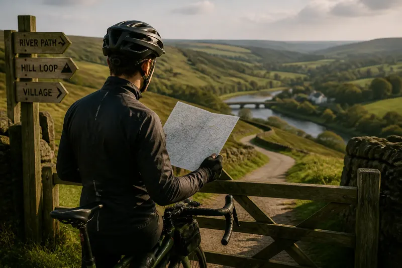
A First Ride Through an Unfamiliar Neighbourhood
Plan a first ride through an unfamiliar neighbourhood around one modest destination, with practical ways to choose streets, pause and adjust your return route.
Where can you ride on a first visit to an unfamiliar neighbourhood without spending the outing negotiating every junction? A first ride through an unfamiliar neighbourhood works best as a small field visit: choose a public place, then pay attention to how its everyday services and streets fit together.
Choose a local purpose
Pick a destination that gives you something to notice beyond the route itself. A public library can show where a neighbourhood’s civic centre sits; a market square may reveal which streets serve local shops; a riverside path can make the district’s edges easier to understand.
Think about what you want to learn. If you are interested in daily errands, choose a library or local shopping street and notice where people lock bikes, cross roads and pause. If you want to understand the neighbourhood’s shape, a public green or canal towpath can provide a clear boundary to explore from a suitable access point.
Check that the destination is open and accessible at the time you plan to arrive. A listed garden entrance may be closed, or a waterside path may not connect to the street you expect. The place should be a reason to ride, not a puzzle that consumes the ride.
Notice how streets work
Use the outing to observe the details that affect ordinary travel: where cycle lanes begin and end, whether a shopping street has useful side-road links, and how crossings connect to destinations on both sides. These details say more about riding locally than collecting a chain of turns on a screen.
Look at the transitions between street types. A residential road may lead directly to a busy shopping street; a park entrance may sit opposite a quieter route. Notice where parked vehicles, bus stops or loading activity change the space available, and choose a different line if the conditions do not suit you.
Road markings and signs are clues, not a complete account of conditions. A painted lane may disappear at a junction, while a signed cycle route may take you past the place you intended to visit. If the route’s next move is unclear, stop somewhere safe and decide before reaching the junction.
Keep useful notes
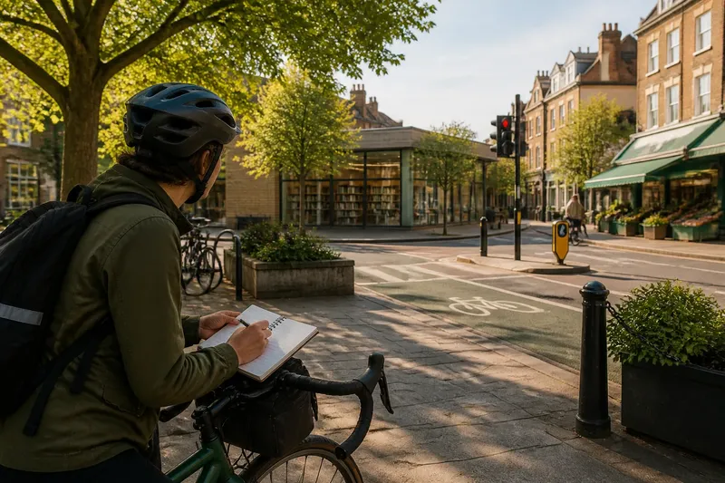
You do not need to document every corner. Note a few practical details that would help on a later trip: a crossing that connects two useful streets, a shop with a public bike rack nearby, or a section where traffic felt too fast for your comfort.
A paper notebook works, as does a note in your phone made while safely stopped. Record the feature and its consequence rather than a vague judgement: “cycle lane ends before the bridge; use the parallel street” is more useful than “bridge difficult”. Keep notes factual and personal; another rider may make a different choice.
Say you want to learn whether a neighbourhood’s library is easy to reach from its shopping street. You start at the shopping street entrance, follow the signed side road, and notice that its cycle lane ends before a busy crossing. You stop at a public forecourt, check the crossing and choose a calmer parallel street for the last section. Your note can then record both the useful link and the point where you changed approach.
First ride questions?
Should I plan a loop?
Not necessarily. An out-and-back route lets you compare the return with the approach, while a loop is useful only if the streets on its far side are clear and comfortable to ride.
What should I look for at a destination?
Check for a public entrance, a safe place to stop and a clear connection back to the street network. If the entrance is closed or the access route is awkward, choose another nearby public place rather than improvising in traffic.
How can I remember useful details?
Make a short note while stopped, naming the feature and what it means for your route. A marked crossing or a cycle lane that ends before a junction is more actionable than a general impression of the area.
What if the route feels uncomfortable?
Do not treat the shortest line on a map as an obligation. Stop in a safe place and choose a calmer street, walk the bike where appropriate, or turn back; local familiarity is not worth forcing a move that feels unsafe.
Check the return options
Before setting off, identify a straightforward way back and one alternative if the approach proves unpleasant. That might mean using the same streets in reverse, or returning by a parallel road that avoids a difficult crossing. A clear fallback is like keeping a spare key: it makes a change of plan less dramatic.
- Check whether the destination has a public entrance; if it is closed or inaccessible, choose a nearby public place instead.
- Check where the route meets a busy road; if the crossing is unclear, choose a route to a signalised crossing or a calmer parallel street.
- Check whether a cycle lane continues through the junction; if it ends beforehand, stop safely to assess the next street or use another approach.
- Check whether there is a legal, convenient place to leave the bike; if not, choose a destination with suitable public cycle parking nearby.
- Check how the return route reconnects to a familiar street; if the connection is confusing, retrace the known section rather than guessing while riding.
- Check whether traffic or road works have changed the conditions; if the street feels unsuitable, use the alternative route or walk the bike where appropriate.
The useful result of a first outing is not a complete mental map. It is a handful of grounded observations about where a route works, where it changes character and what you would choose next time. Keep the notes specific, and your next ride through the neighbourhood can start with a better question than “Which turn comes next?”